On the evening of September 6th, I left Hanover, NH. It had been a nice breather, especially knowing the White Mountains were waiting for me. My first full day of hiking, after departing Hanover, I wandered upon Bill Ackerly’s house who has been deemed “The Ice Cream Man.” Bill is extremely hospitable and offers his yard to hikers for camping. He provides electrical outlets and water, as well. But the cherry on top, so to speak, is the creamsicle that Bill greets you with. Hence, his nickname.
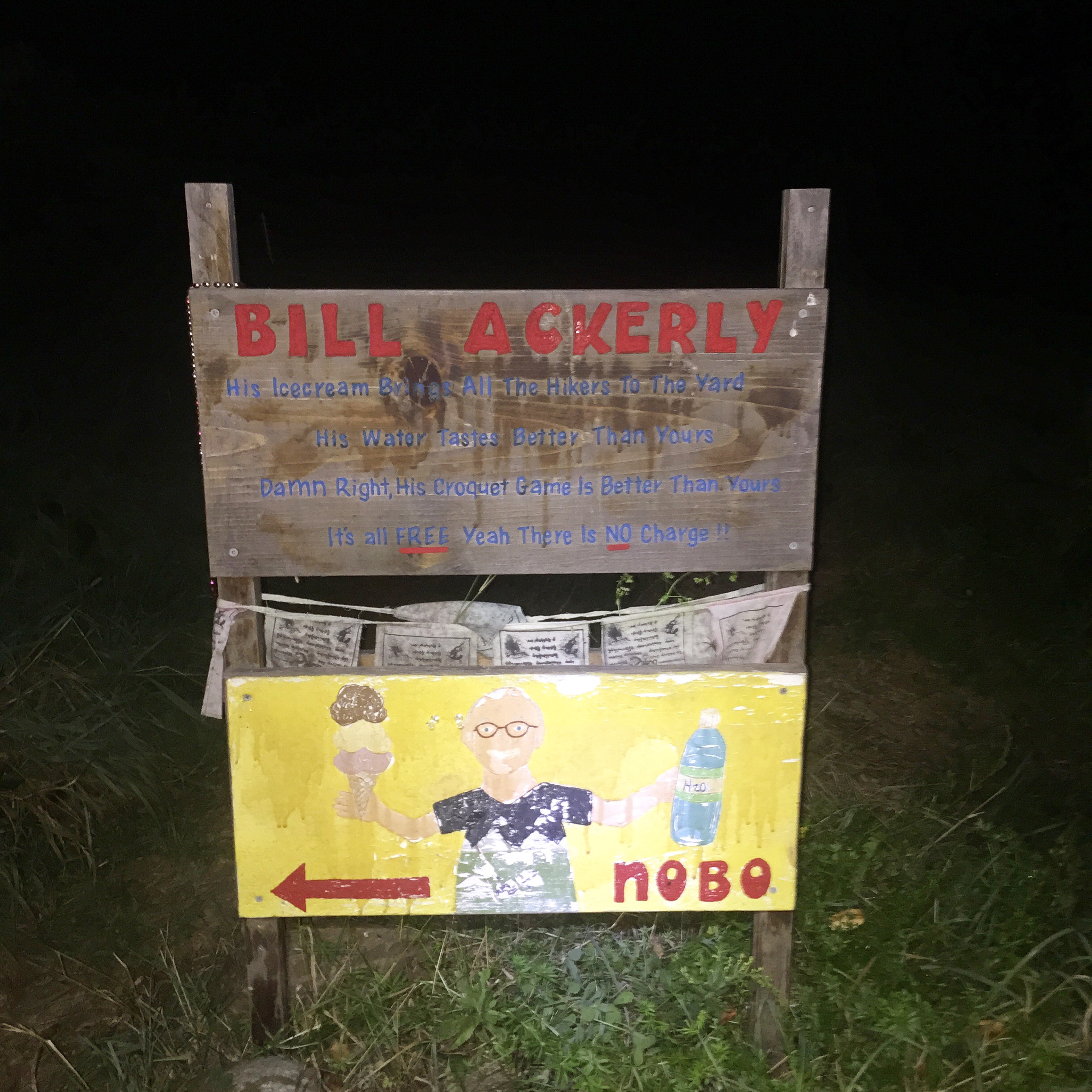
The sign leading to Bill Ackerly’s Home
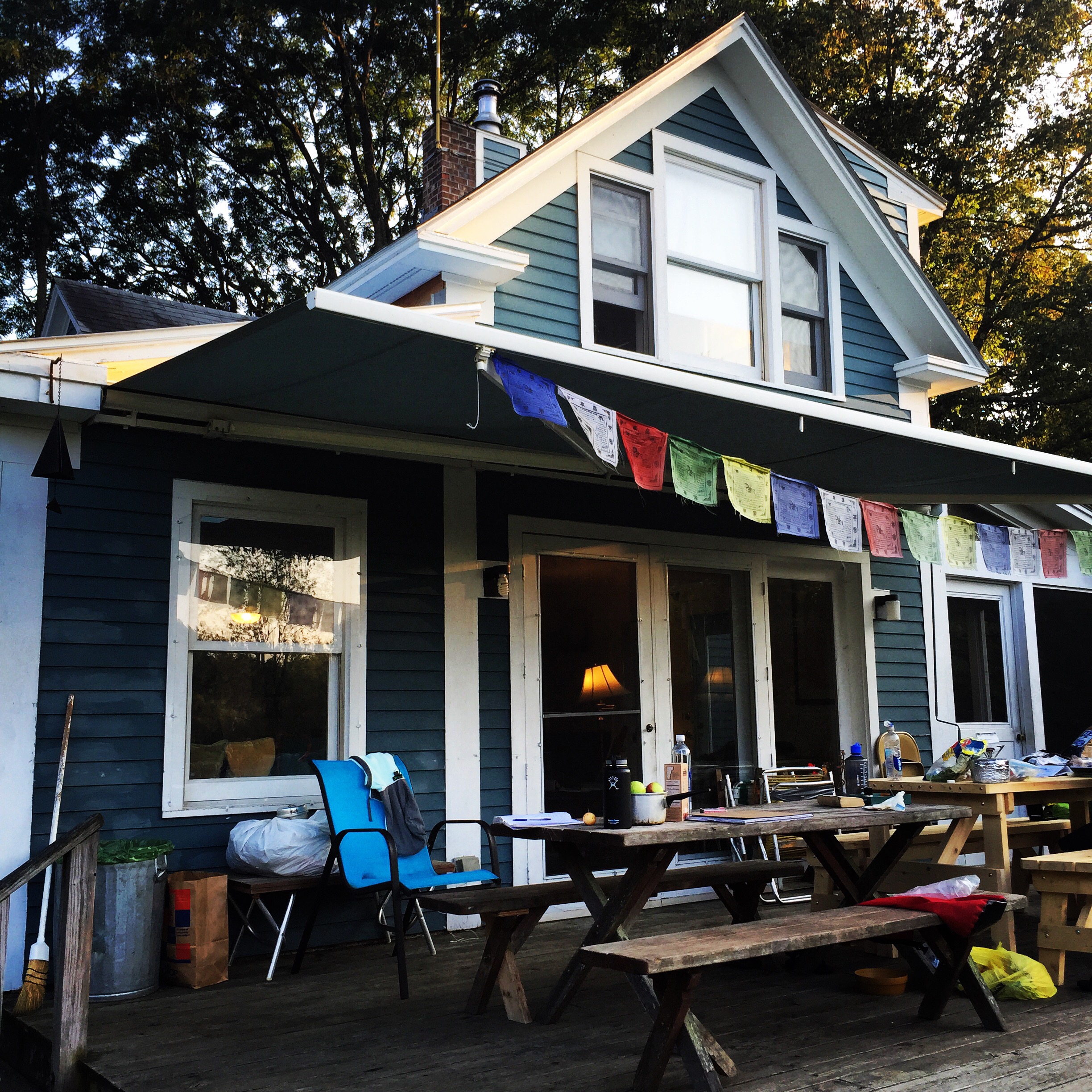
The home of “The Ice Cream Man”
When I arrived, it was late afternoon so I went ahead and cooked dinner on his porch. Other hikers had set up to camp for the night. We all sat around socializing and the topic of Hank Williams arose. Bill was excited to hear another country and bluegrass music fan was present. He insisted on playing some of the old tunes and even asked me to dance. We twirled around and everyone laughed–it was a good ol’ time!
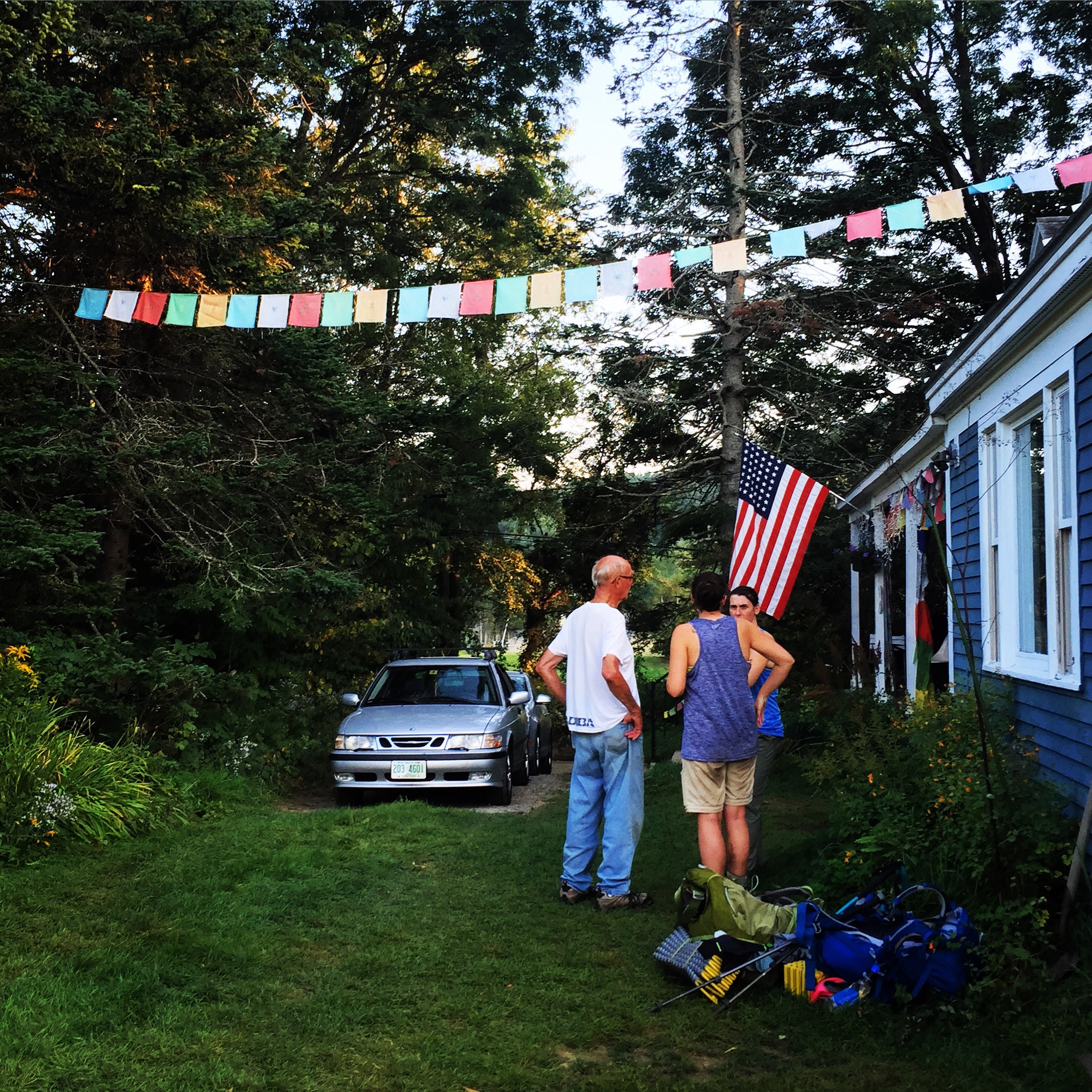
Bill hanging out with some of the passing hikers
After leaving Bill’s house, I hiked into the night. I ascended about half of Smarts Mountain and decided to cowboy camp on a ledge. The stars were absolutely stunning! The next morning, I witnessed my first New Hampshire sunrise.
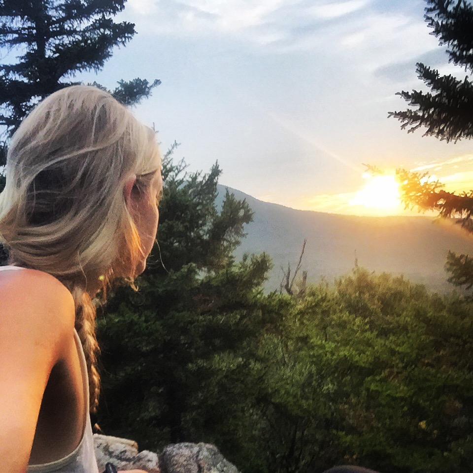
Good morning, NH!
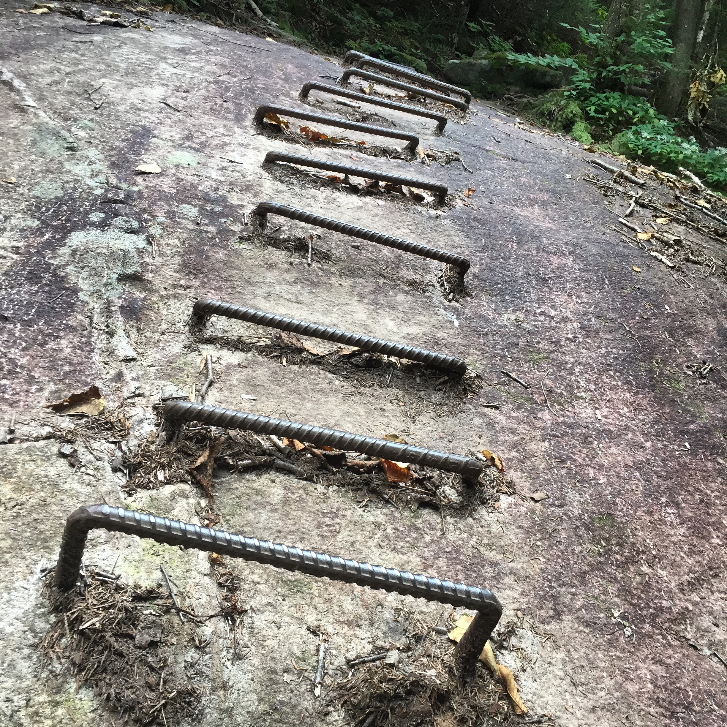
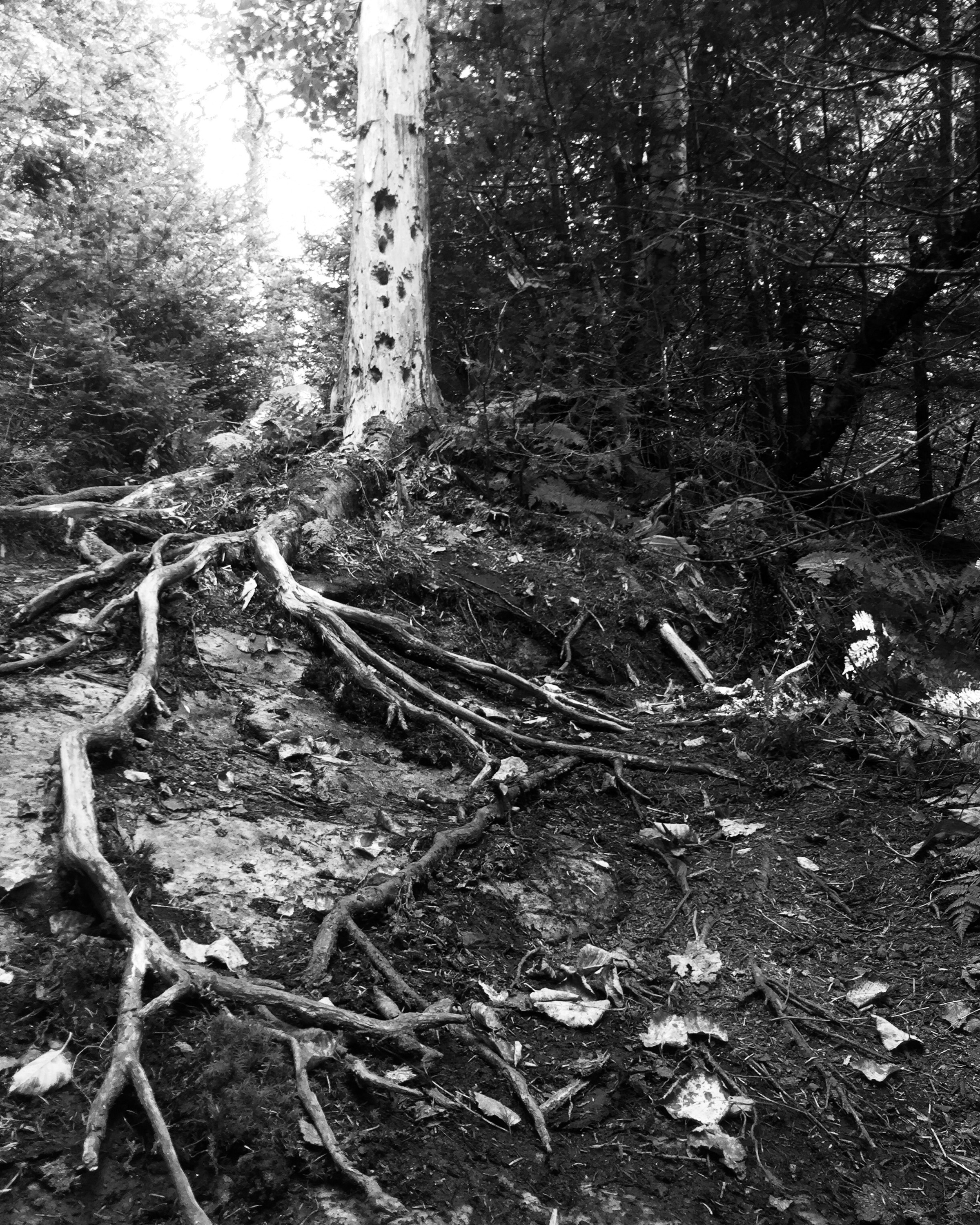
Rebar rungs on Smarts Mountain
The following morning, I drank my coffee while staring wide eyed at the elevation profile for the first climb in the White Mountains. I was going to traverse Mt. Moosilauke. Gulp.

Elevation profile of Mt. Moosilauke
Well, I must admit. The climb up Moosilauke wasn’t that bad. I actually kind of enjoyed it! The ascent was challenging, but not overly difficult and the view from the summit was more than rewarding.
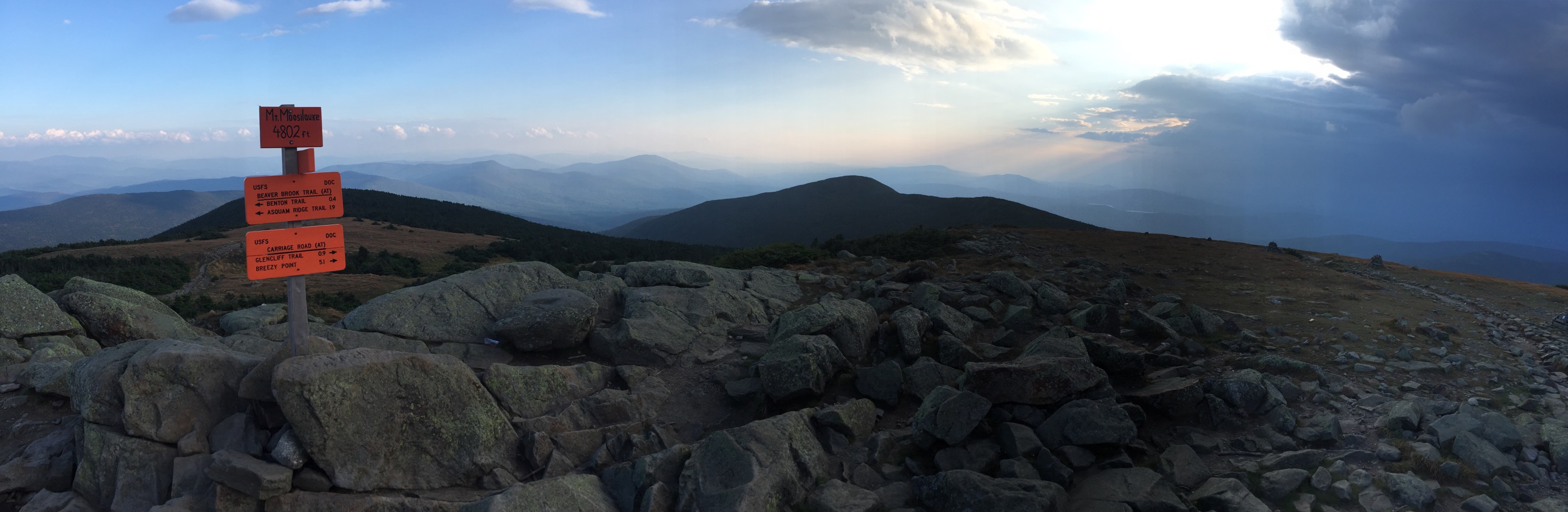
The summit of Mt. Moosilauke
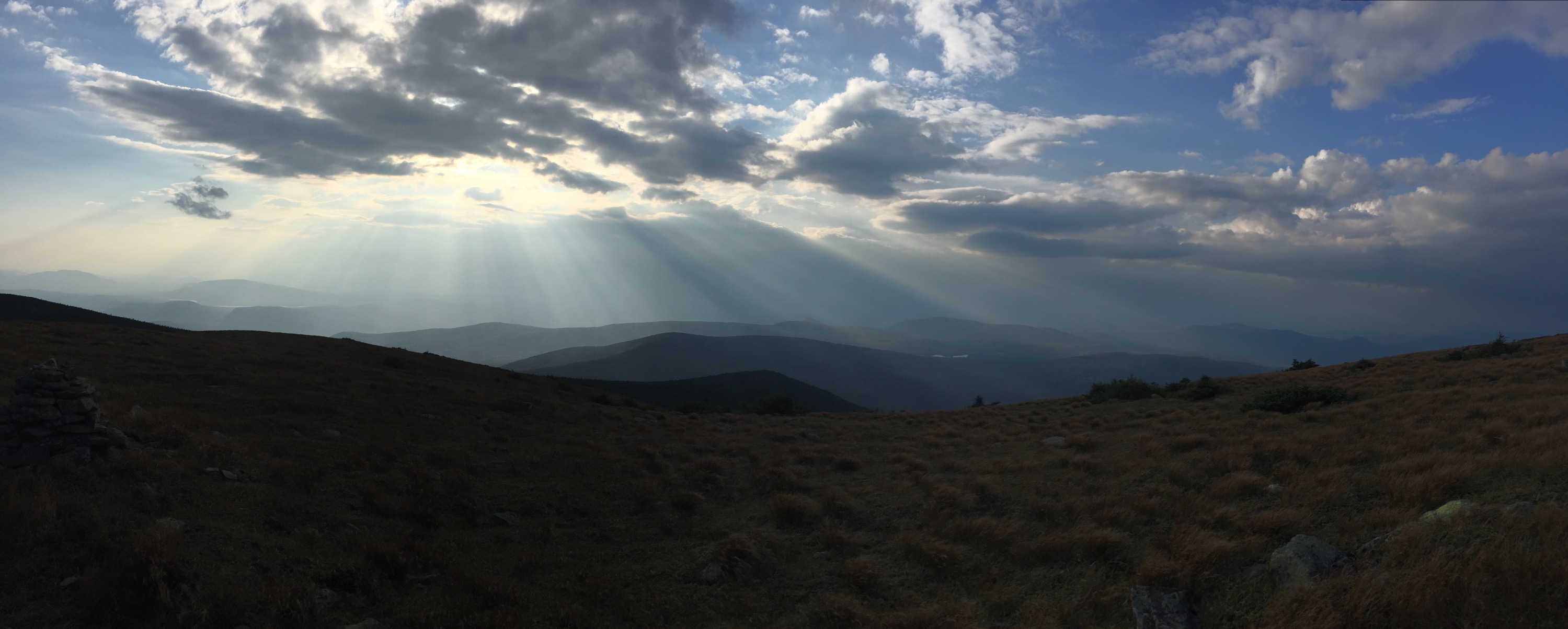
View from Mt. Moosilauke

Excited about climbing the first mountain in the Whites.
 Less than a mile into the hike down, torrential rain set in. I was considerably thankful there were no lightning strikes. The terrain, however, was treacherous. I climbed boulder after boulder and slowly inched down the steep slope. Darkness had completely fallen when I reached the shelter which was only 1.5 miles from the road. Less than two miles stood between me and the opportunity to hitchhike to town. I quickly stopped by the shelter to change into some dry clothes since the rain had subsided. Looking at the elevation profile, the smart decision would’ve been to wait until morning to continue down the mountain. But, in my stubbornness, I was determined to stay in town. Once a hiker has town (a warm bed, real food, hot shower, etc.) on the mind, come hell or high water, town must be reached.
Despite my better judgement, I left the shelter and began hiking the remaining 1.5 miles. I can honestly say this was the roughest terrain I traversed at this point in my hike. There were places where basically a river was the trail. I slowly scrambled over one slick boulder after the next. At one spot, I reached a ledge and was sure I was lost. I searched for a white blaze re-walking a portion of the trail again. I kept being led to the ledge. I finally shined my headlamp down the ravine, and saw a series of slippery wooden wedges that were attached to the enormous rock face. I remember asking out loud, “Is this real life?” If there had been a sliver of non-rocky piece of ground I could have put my tent on, I would have. But, that choice no longer existed…and turning back did not seem to be a viable option. So, my shaky legs stepped down off the ledge and I prayed out loud as I took every daunting step down the perpendicular rock face.
The picture below is an example of the wooden wedges implemented to assist hikers. Keep in mind, however, the wedges on Mt. Moosilauke were much steeper, slippery, and it was dark.
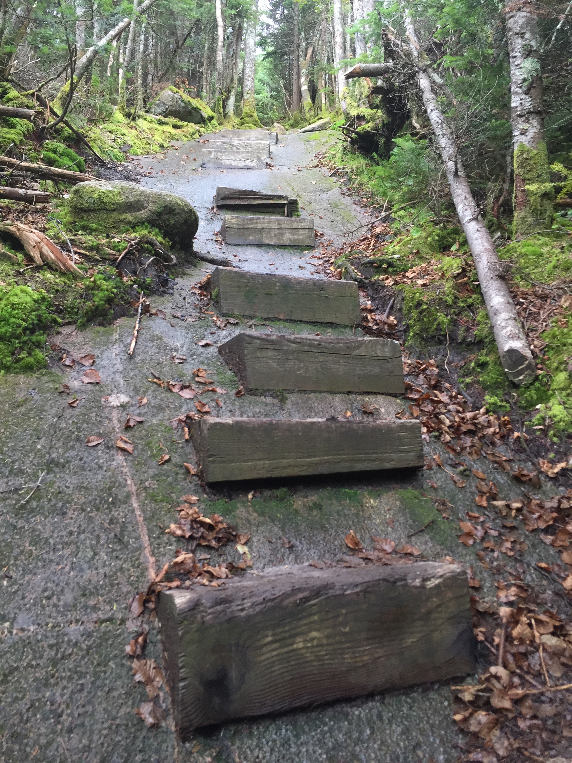
An example of the wooden wedges seen in the White Mountains
My typical average hiking pace is 2 miles per hour. When going to town, especially downhill, I can easily push 3 miles per hour. Going down Moosilauke, though, I completed the last 1.5 miles in 3 hours. That’s a whopping half mile per hour! When I finally reached the road, I didn’t even care that there was no traffic. I was elated to simply see the road. I sat there on the gaurd rail shivering for a moment and let the events of the night sink in. I was lucky to be okay, really. After calling a taxi and arriving at a local motel, I finally got that warm bed and hot shower. I vowed to myself that night that I would never night hike in the White Mountains again.
I had planned on doing a 17 mile stretch the next day, but when I woke up and to the sound of rain hammering the motel roof…I decided a zero day sounded better.
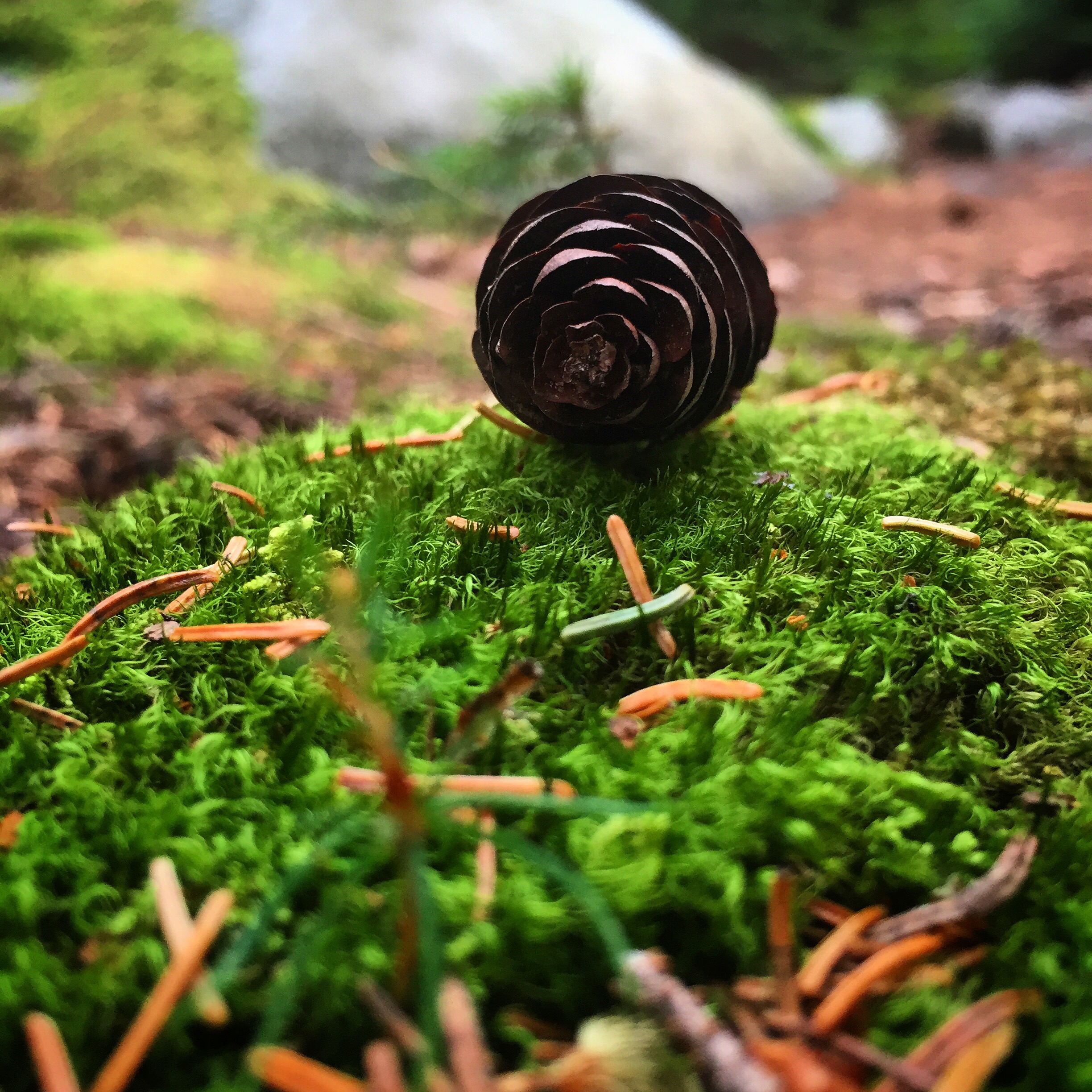
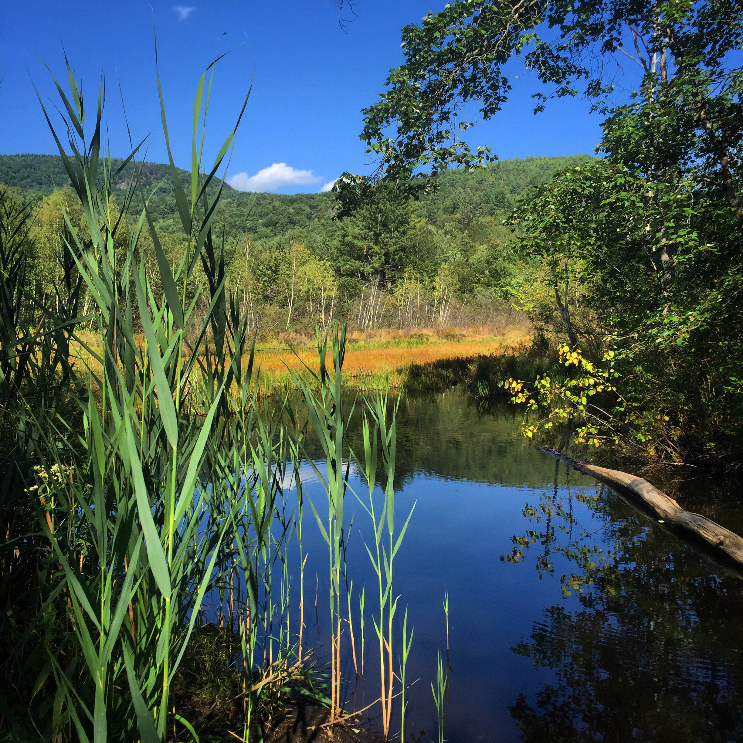
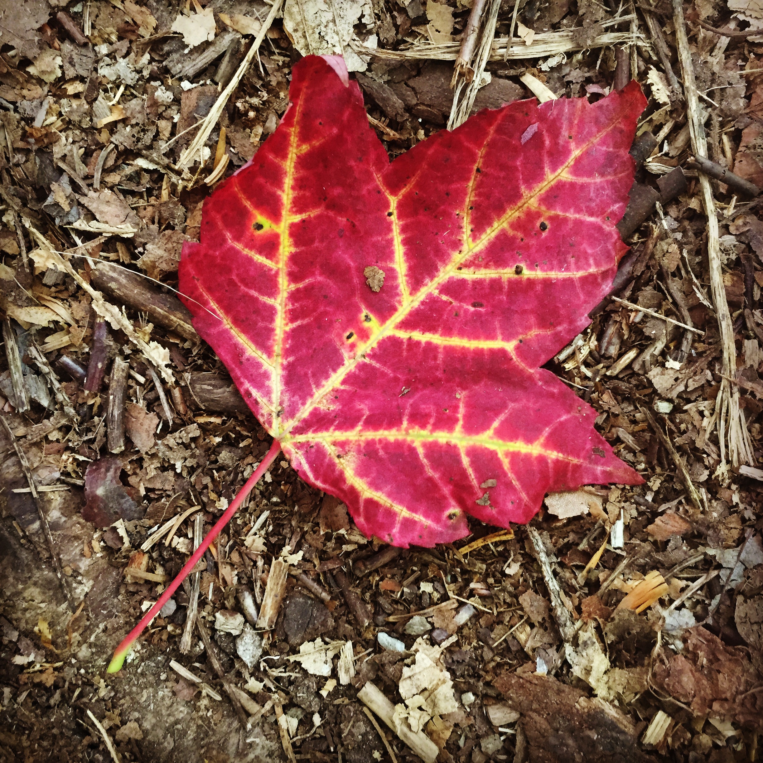
Below are some pictures I snapped from this stretch of trail:


Until next time–
 Happy Trails 🙂

Congrat’s on completing the trail, an awesome achievement; may this be the first of many such wonderful adventures you have.
I have been following your blogs with much interest; your writing, photographs and videos have been of the highest quality. The way you encompassed all aspects of the trail, e.g. the people you met, the small towns you went through etc was masterfully well done. In doing this you created an overall picture of what the trail is all about; an extremely difficult thing to do at the best of times.
You come across as a remarkable young woman; your attitude and approach to doing the trail speaks of a truly wonderful, thoughtful and caring person.
I wish all the very best for your future endeavours
So proud and happy for taking all along on your journey! Now what are we all gonna do? Will we get the picture book of your photos and a DVD director’s cut of the great videos of you and Whitney’s work?
Keep me in the loop! All your fans love you guys!
Albert Bassett
Love the website! I thru hiked w/ my puppy dogther in 2011 & came back to do New Hampshire again. I was apparently 5 or so days behind you & saw your websites & such in the shelter registers.
I’m finding great pics from everyone’s different websites, especially of the peeps I should have taken photos of, like the mother/daughter team above I spent a day or 2 with in Gorham.
I hope you enjoyed every last minute of your trip! I miss the AT & all the people there each & every day!
Lost & Found from Lake Mitchell (Clanton), AL. 🙂
Wow I was so happy this morning to see that you finally made it. I was so worried with the cold. I discovered your videos a week ago when I was searching for a good AT video on YouTube. I will turn 50 in 2018 when I plan to hike the AT. I hope my attitude will be as positive as yours. It was so fun to see all the small details you captured. A huge thanks to you and your friend who has posted these videos. You have inspired me so much. I hope we will hear more from you and your adventures! Congrats on a life changing journey!
What happened to Rigga and Rebel yell – did yall reunite ?
Been sitting here thinking…you’ve completed the trek. Your feet and legs are thankful, but your growing audience is asking for just one more day.
I think the next step has to be a movie! Well, think about it. ????
Thank you again for the opportunity to follow along. Every corner we come around on the trail and every summit we reach we’ll be looking for you.